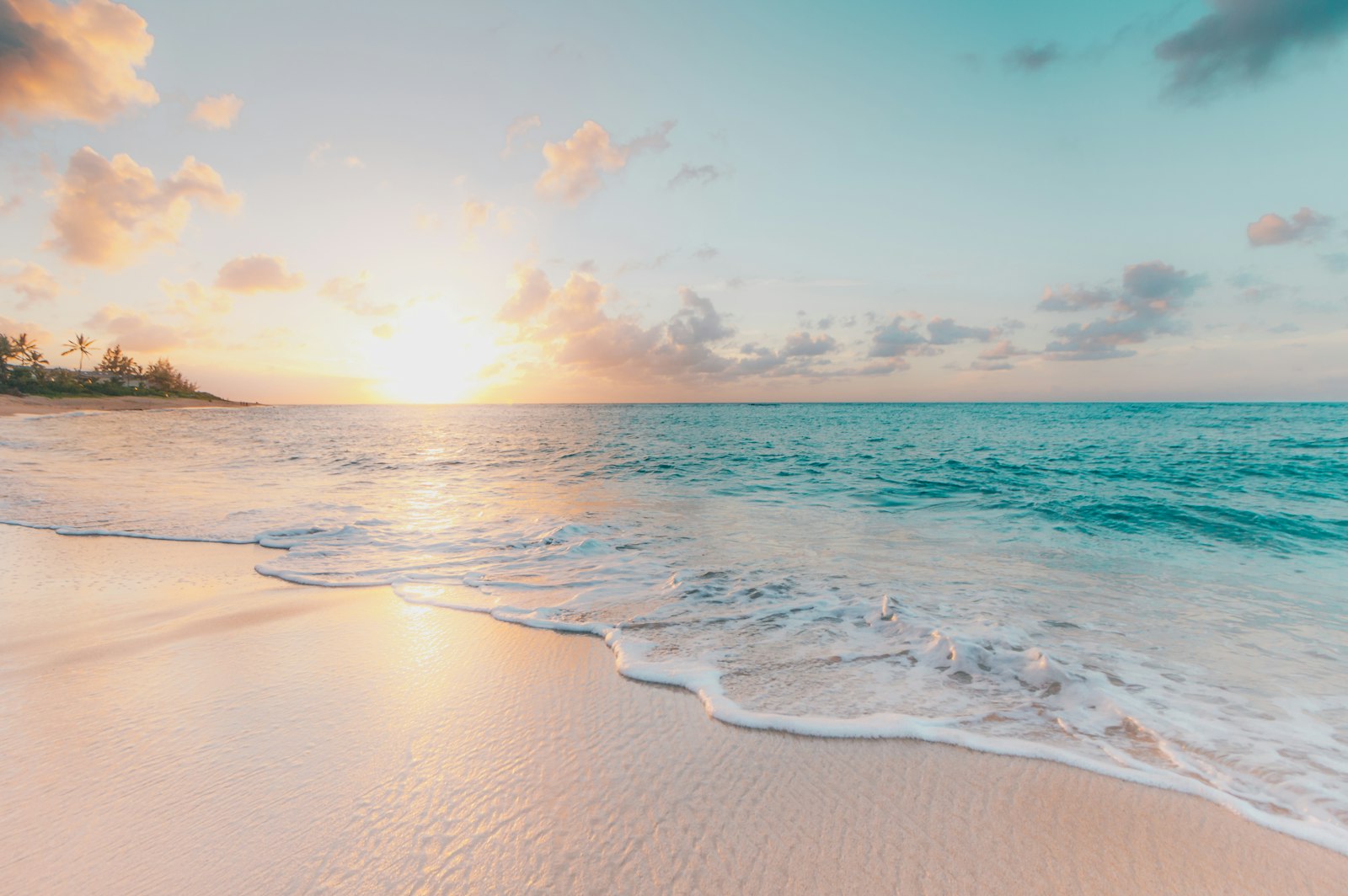
Chiba Prefecture is the closest coastal wilderness to Tokyo — a long peninsula curling into the Pacific with 66 kilometres of unbroken sandy beach on one side, dramatic cliffs and fishing villages on the other, and a forested interior largely unknown to foreign visitors. Its natural landscapes shift with the seasons in ways that reward return visits: winter flower fields, spring rapeseed and cherry blossoms along a country railway line, summer surf beaches, and autumn foliage in the gorge country of the central hills.
Kujukuri Beach — Japan’s Longest Straight Sandy Shoreline
Kujukuri stretches 66 kilometres along the Pacific coast of the Boso Peninsula — the longest straight sandy beach in Japan. The name means “99 ri” (an old Japanese unit of distance), and while the literal distance calculation is disputed, the beach’s scale is not. The Pacific swells arrive without obstruction from across the ocean, and the flat, wide shoreline extends to the horizon in both directions wherever you stand.
The beach attracts different visitors across the year. In summer (July–August), the southern sections near Ichinomiya and Onjuku are popular for swimming and are lined with beach shacks selling cold drinks and surf gear. Surfers favour the consistent beach breaks; Kujukuri is considered the best surf spot in the Kanto region and has produced a number of Japan’s professional circuit surfers. Weekday summer visits are considerably quieter than weekends when crowds arrive from Tokyo.
Outside summer, Kujukuri is expansive and largely empty. The light in winter and autumn — long slanting afternoon rays over flat sand with nobody else in sight — is genuinely extraordinary. Whale watching is possible offshore between October and January, and local charter boats operating from several ports along the coast offer half-day tours.
Access: JR to Togane or Oamishirasato, then local bus to the beach (approximately 30 minutes). No direct train access to the beach itself. By car from Tokyo via the Aqualine: approximately 90 minutes to the central beach area.
The Boso Flower Line — Winter Colour at the Pacific Edge
From late January through February, the coastal hills of the southern Boso Peninsula erupt in colour. The Flower Line (Hana no Michi) covers approximately 4 kilometres between Minami-Boso and the southern cape, where hillside fields planted with yellow rapeseed (nanohana) and orange-and-white poppy flowers bloom while most of Japan remains bare and grey. The combination of Pacific blue visible below the cliffs and the vivid winter flowers makes this one of the most striking seasonal landscapes in the Kanto region.
This is one of Chiba’s best-kept secrets from an international perspective. Almost no foreign tourists make the journey to the southern Boso in winter, yet the Flower Line delivers the kind of scenery that draws busloads to the more famous Kuya Matsuri or Ashikaga flower parks. The Cape Shirahama area nearby has white sand beaches that are uncrowded even in the warm winter conditions that characterize the Pacific-facing southern tip of the peninsula.
Access: JR Uchibō Line to Tateyama, then bus toward Shirahama or Chikura. Most convenient by car from Tateyama Station.
Isumi Railway — Rapeseed and Cherry Blossoms
Every March and April, the single-track Isumi Railway traverses a landscape that becomes one of the most photographed rural railway scenes in Japan. The line runs through the agricultural interior of central Chiba, and in spring the embankments on both sides burst with golden rapeseed flowers and blooming cherry trees. A yellow diesel railcar threading through golden fields and pink blossoms against a pale spring sky — the composition practically builds itself.
The Isumi Railway runs between Ohara (on the Sotobo Line) and Kazusa-Nakano in about 55 minutes. Photographers line up at well-known vantage points, particularly at level crossings where the train passes through sections of dense blossom and rapeseed that frame the view tightly. The best colour is typically late March for the rapeseed and early April for the cherry blossoms; the two peaks sometimes overlap, which produces the most dramatic combinations.
Outside cherry blossom season, the Isumi Railway is a pleasant slow travel experience through farmland and small rural stations that feel largely unchanged from several decades ago.
Access: JR Sotobo Line to Ohara Station, then board the Isumi Railway. Round trip on the full line and back takes just under 2 hours. Check timetables before visiting as services are infrequent.
Cape Inubosaki and the Pacific Horizon
Cape Inubosaki juts into the Pacific at the far northeastern corner of Chiba, where the currents of the Kuroshio and Oyashio meet. The lighthouse at the cape — one of the oldest stone lighthouses in Japan, built in 1874 — stands on a cliff above churning sea, and on clear winter days the view extends to the Kashima coastline of Ibaraki to the north. The cliff paths below the lighthouse are dramatic, with waves breaking against dark rock formations and seabirds working the updrafts above the headland.
The waters off Inubosaki are whale-watching territory from October through January, and several local operators run half-day charters from the nearby Choshi port. Humpback and sperm whales have been sighted offshore during this window, and the tours typically have high success rates during peak months (November–December). The cape area in winter — cold, windswept, and almost entirely devoid of tourists — has a raw, elemental quality that is genuinely impressive.
Access: JR Sobu Line limited express Shiosai to Choshi, then taxi or local bus to Inubosaki (approximately 15 minutes).
Nokogiri-yama Forest Trails
The Nokogiri mountain ridge above Tokyo Bay offers hiking through ancient cedar forest with viewpoints across the bay toward Mt. Fuji on clear winter days. The Nihonji Temple complex covers the mountain, and the marked walking circuit through the temple grounds passes through several distinct environments: dense forest, open quarry rock, carved stone corridors, and the dramatic cliff sections near the Jigoku Nozoki viewpoint.
The full circuit takes two to three hours at a relaxed pace. The forest in autumn (November) carries foliage colour in the cedar, maple, and zelkova trees, making the mountain particularly atmospheric at this time. In summer, the forest provides shade from the heat, and the bay views from the ridge feel especially vast against the summer haze.
The ropeway from Hamakanaya provides easy access to the upper mountain in about 4 minutes; the alternative is a 30-minute on-foot ascent from the station.
Access: JR Uchibō Line to Hamakanaya Station, then ropeway (¥1,480 round trip) or on-foot ascent. Temple entry ¥700.
Practical Tips
Seasonal calendar:
- January–February: Boso Flower Line, whale watching from Choshi, winter beach emptiness
- March–April: Isumi Railway rapeseed and cherry blossoms, Nokogiri-yama spring foliage
- July–August: Kujukuri surfing and swimming, Onjuku coast
- October–November: Yoro Valley autumn foliage, Cape Inubosaki whale watching, Nokogiri-yama autumn colour
Getting around: A rental car significantly expands what is accessible in a day. The Aqualine (Tokyo Bay crossing, ¥800 toll) cuts the drive from central Tokyo to the Boso interior to about 60–90 minutes from the tunnel exit at Kisarazu, making day trips to the southern peninsula feasible without an overnight.