Iwate Prefecture Nature & Outdoor Guide for International Visitors
Stretching from the Pacific coast to mountainous interior highlands, Iwate Prefecture offers some of northern Japan’s most spectacular and unspoiled natural landscapes. This guide covers essential outdoor destinations, from dramatic coastal cliffs to sacred peaks and ancient limestone caves.
1. Sanriku Fukko National Park: Where Mountains Meet the Sea
The Landscape
The Sanriku coast is Japan’s premier example of ria coastline—a drowned river valley landscape where ancient mountains have been partially submerged, creating a complex shoreline of deep inlets, rugged headlands, and isolated coves. Designated as a national park following the 2011 tsunami recovery (fukko means “reconstruction”), this 250-kilometer stretch represents coastal resilience and natural beauty.
Kitayamazaki Sea Cliffs
The crown jewel of Sanriku, Kitayamazaki features 200-meter-high coastal cliffs plunging dramatically into the Pacific. The cliffs extend for eight kilometers, with multiple observation platforms accessible via the Kitayamazaki Coastal Trail. The contrast of white rhyolite and andesite rock formations against cobalt waters creates stunning photography opportunities, particularly at sunrise. A 40-minute walking trail connects five viewing points, suitable for all fitness levels.
Jodogahama Beach
Translating to “Pure Land Beach,” Jodogahama earned its name from a Buddhist monk who compared its beauty to paradise. White volcanic stones, crystal-clear waters, and distinctive white rock formations dotting the bay create an otherworldly seascape. Swimming is possible from late June through August, though waters remain cool (18-22°C). Boat tours departing from Jodogahama port offer 40-minute trips through sea caves and alongside nesting seabird colonies.
Access & Timing
JR Miyako Station serves as the gateway, with buses to Jodogahama (10 minutes) and Kitayamazaki (40 minutes). Visit May to October for optimal weather; June through August offers warmest conditions but brings crowds. Spring and autumn provide solitude with dramatic weather patterns creating atmospheric coastal scenery.
2. Iwate-san (Mount Iwate): The Nambu Fuji
The Mountain
At 2,038 meters, Iwate-san dominates Morioka’s skyline with its symmetrical volcanic cone, earning the nickname “Nambu Fuji” (Nambu being the region’s historical name). This complex stratovolcano last erupted in 1732 and remains an active volcanic system, adding geological intrigue to its aesthetic appeal.
Trail Routes
Three main routes ascend Iwate-san:
-
Yanagisawa Course (4-5 hours up): The most popular route, beginning at the 8th station trailhead accessible by toll road. Steady climb through mountain birch forests transitioning to alpine tundra. Difficulty: Moderate.
-
Amihari Course (5-6 hours up): The traditional pilgrimage route from Iwate Shrine. Longer but gentler gradient, passing through old-growth forests. Difficulty: Moderate to Challenging due to length.
-
Kamikuriyama-kogen Course (6-7 hours up): Quietest route with expansive views from early stages. Difficulty: Challenging.
Alpine Flora
July and August transform the upper slopes into alpine gardens. Key species include Komakusa (Japanese alpine rose), Chinguruma (alpine avens), and various saxifrages. Early July offers peak flower diversity, while late August provides autumn color preview.
Essentials
Access via bus from Morioka Station to trailheads. Carry layers—summit temperatures can be 15°C cooler than base. Technical climbing skills unnecessary, but stamina essential. Weather changes rapidly; start by 6 AM to avoid afternoon cloud buildup and lightning risk. Season: Late June to early October.
3. Hayachine-san: Sacred Peak and Botanical Treasure
Cultural and Ecological Significance
At 1,917 meters, Hayachine-san has been worshipped for over 1,200 years as a sacred mountain. While not directly within UNESCO’s Shirakami Sanchi World Heritage Site, it forms part of the broader biosphere’s buffer zone, protecting ancient beech forests.
The Hayachine Usuyuki-so
This ultra-rare endemic flower (Leontopodium hayachinense) grows only on Hayachine-san’s serpentine rock outcrops. A relative of edelweiss with delicate white blooms, it appears from late June through July. Designated a Natural Monument, it symbolizes the mountain’s unique geology and isolation. Observe from designated paths only.
Climbing Routes
The standard Kawara-no-bo Route (3-4 hours up) begins at the mountain shrine. The trail passes through diverse ecological zones: dense beech forests, alpine scrubland, and exposed serpentine rock fields hosting specialized plant communities. Difficulty: Moderate, with some steep sections requiring caution.
Access
From Morioka, take the JR Kamaishi Line to Tono Station, then bus toward Oshuku Onsen. Mountain huts unavailable; this is a day-hike only. Season: July to September.
4. Ryusendo Cave and the Iwaizumi Karst Plateau
Underground Wonderland
Ryusendo Cave extends at least 4,088 meters (only 700 meters open to visitors), making it one of Japan’s three largest limestone cave systems. The highlight: underground lakes reaching depths of 120 meters, with visibility exceeding 40 meters—among the world’s clearest waters. Cobalt blue water reflects cave lighting, creating surreal atmospheres.
Karst Ecosystem
The cave harbors unique species, including five bat species (best observed hibernating in winter months from observation platforms that prevent disturbance). The surrounding Iwaizumi karst plateau features limestone formations, dolines, and seasonal streams disappearing underground.
Visiting Information
Open year-round, though winter (December-March) offers best bat-viewing. Constant 10°C cave temperature requires jacket regardless of season. Located in Iwaizumi town, accessible via bus from Morioka (2 hours). Walking tour requires moderate fitness—stairs and uneven surfaces. Difficulty: Easy to Moderate.
5. Tono Basin: Satoyama Landscapes
Rural Heritage
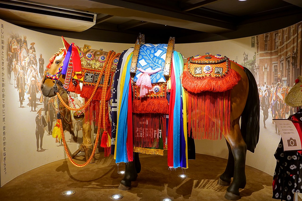
The Tono basin represents satoyama—traditional rural landscapes where human activity and nature coexist. Rice paddies pattern valley floors, horse pastures occupy hillsides (continuing Tono’s nanbu-uma breeding tradition), and beech forests crown the surrounding mountains.
Outdoor Activities
Cycling proves ideal for exploring Tono’s scattered farmsteads, folk tale sites, and forested trails. Rental bikes available at Tono Station. The Tono Furusato Village offers insight into traditional rural life with preserved magariya (L-shaped farmhouses).
Forest walks in the surrounding hills provide gentle hiking through secondary beech forests, particularly beautiful during October’s autumn colors. Difficulty: Easy.
Essential Planning Information
Best Seasons:
- Coastal activities: May-October
- Mountain hiking: July-September
- Cave exploration: Year-round (winter for bats)
- Rural landscapes: May-June (fresh green), September-October (harvest/autumn colors)
Gear Recommendations:
- Mountain hiking: Proper boots, rain gear, layered clothing, headlamp
- Coastal: Windbreaker, sun protection, water shoes for beaches
- Cave: Light jacket, non-slip footwear
Base Cities: Morioka serves as the primary hub with excellent train connections. Miyako provides coastal access, while Tono offers rural immersion.
Iwate’s natural diversity rewards visitors willing to venture beyond Japan’s usual tourist circuits with authentic outdoor experiences and ecological wonders.